Fieldwork at Laisvall: Bridging Ground and Earth Observation
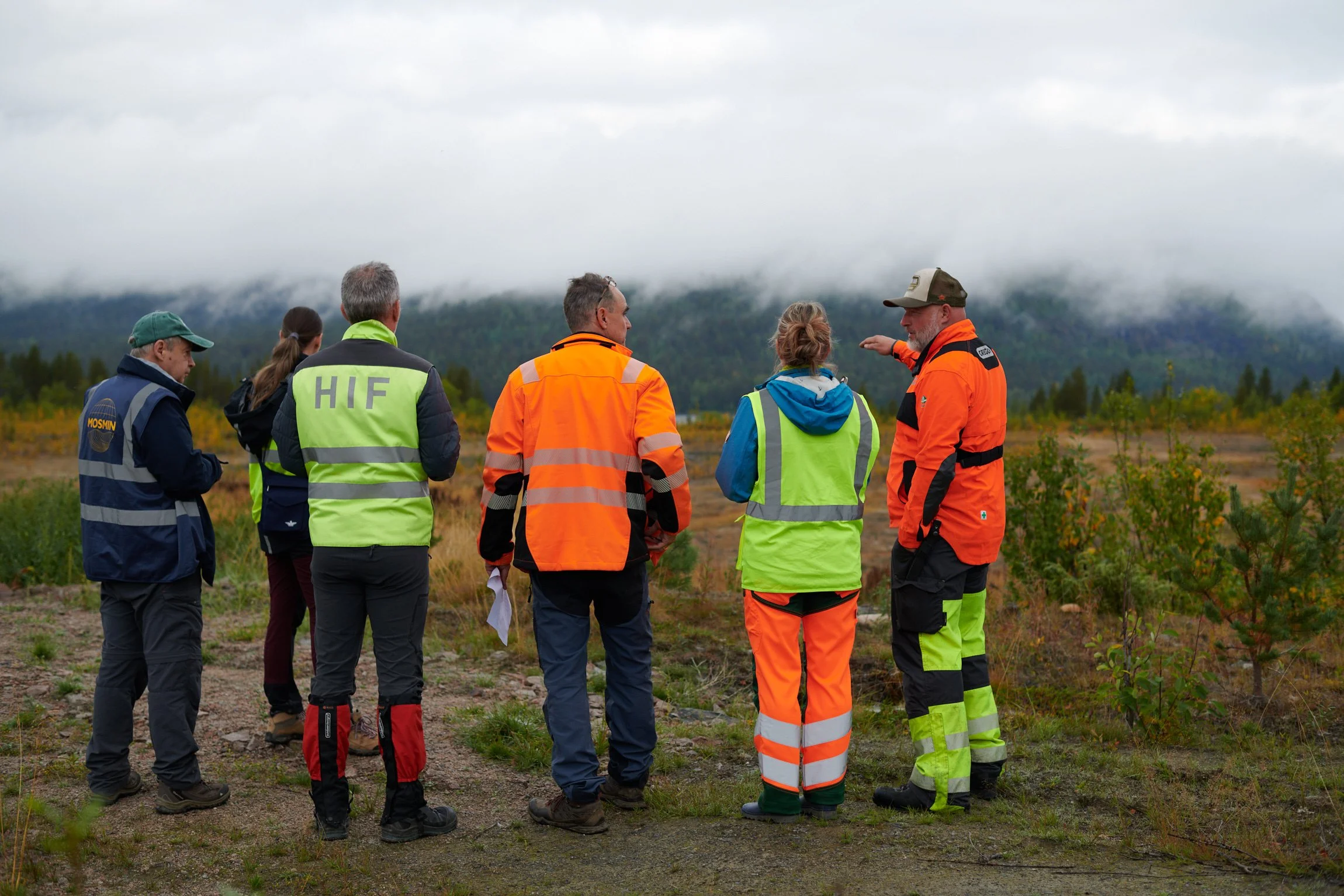
In September 2025, partners from GFZ, Boliden and HZDR came together to carry out crucial fieldwork at the Laisvall mine in Sweden. The campaign was a cornerstone of MOSMIN’s mission, providing on-site observations and data to help interpret and evaluate the accuracy of the Earth Observation products we are developing. This effort not only generated critical datasets but also reinforced collaboration with partners on-site. The objectives of the fieldwork were:

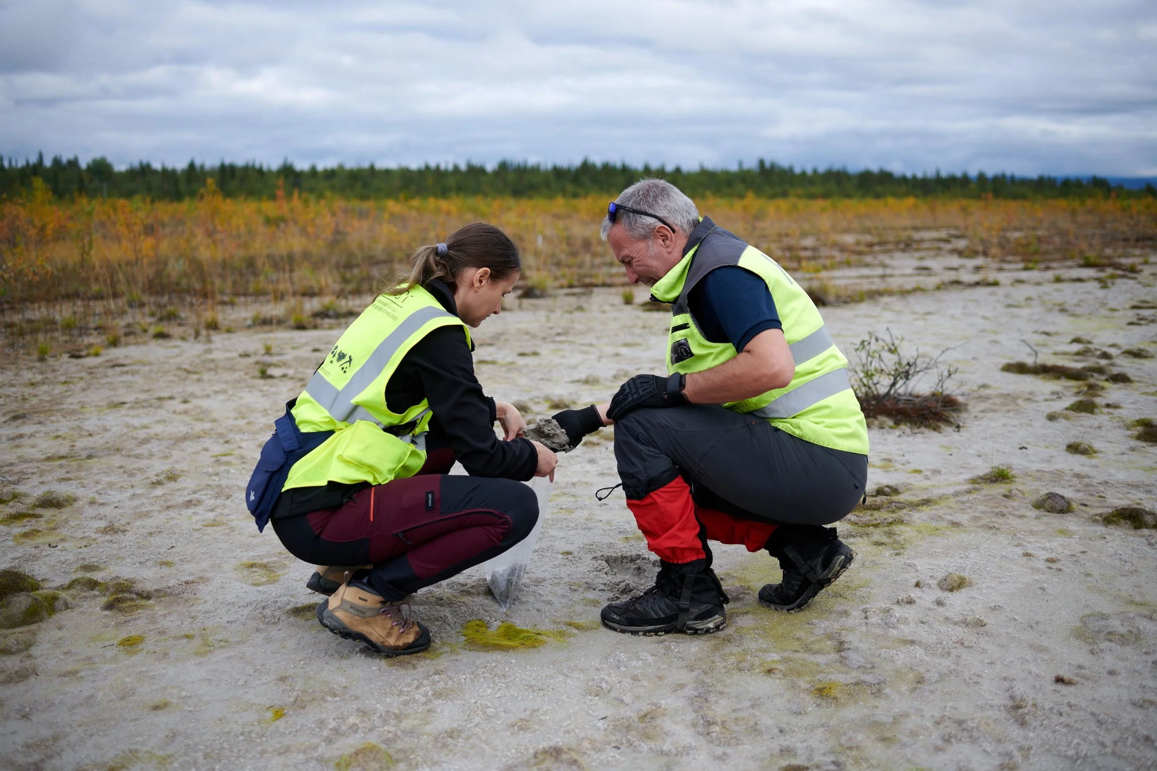
Ground-truthing satellite data to gain an understanding of the site’s condition, history and current geotechnical and environmental issues.

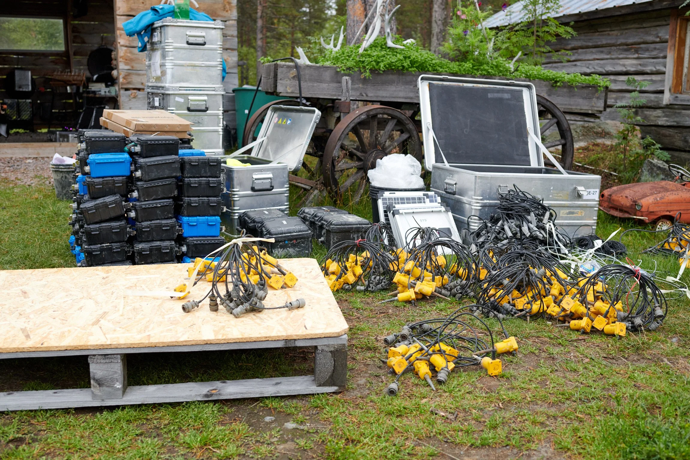
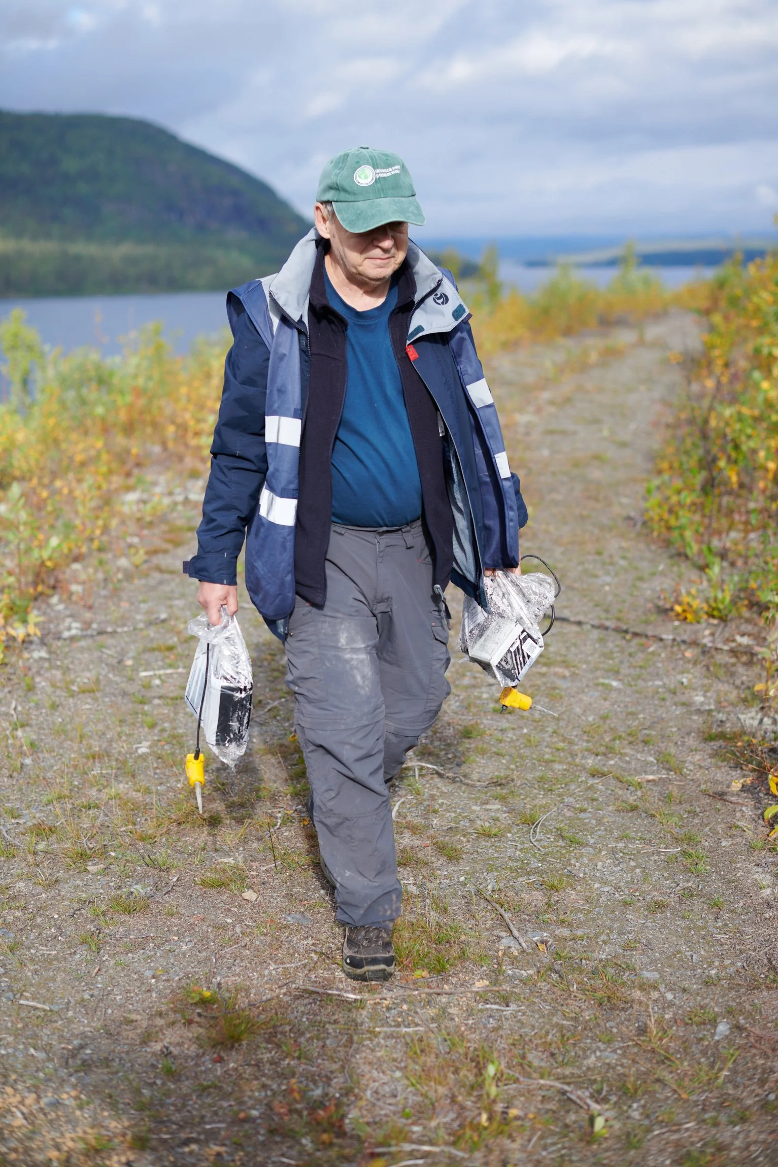
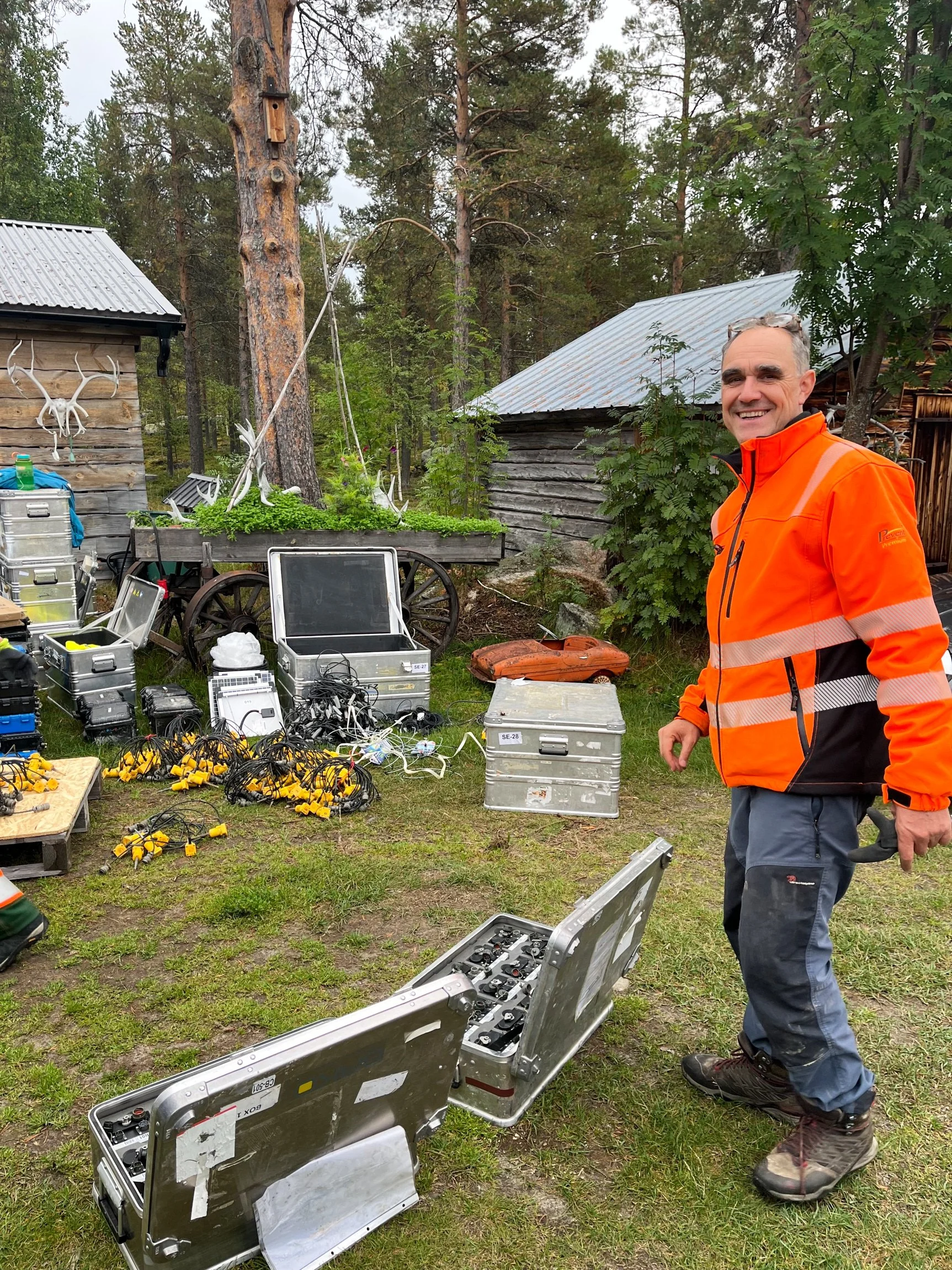
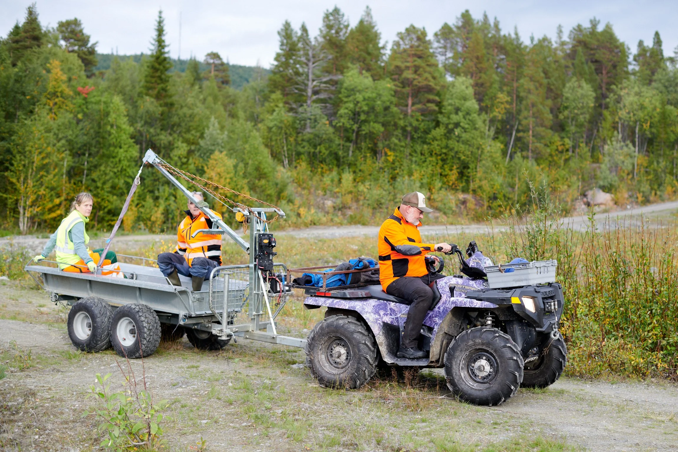
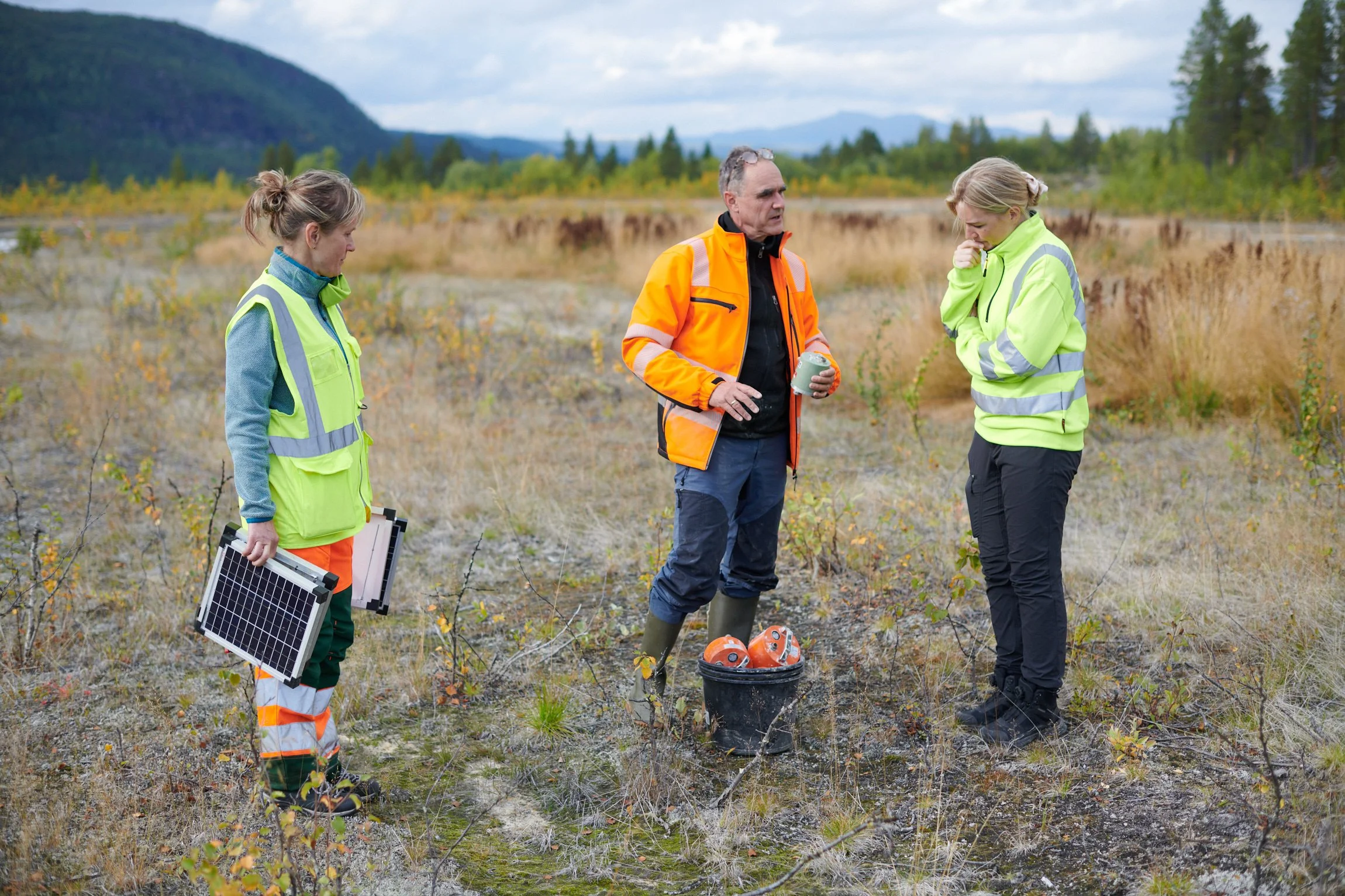
Assisting GFZ in retrieving 200 seismometers that were deployed five weeks earlier for an ambient noise tomography survey.

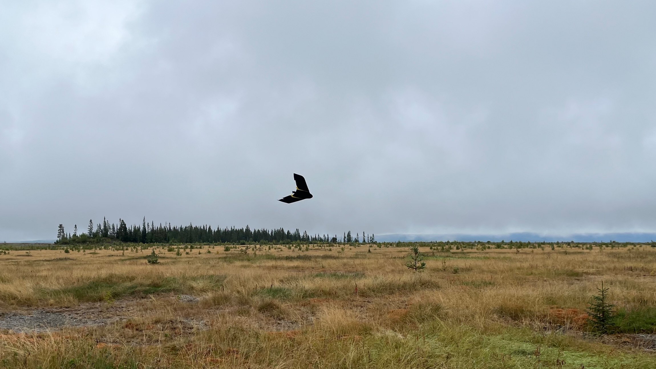
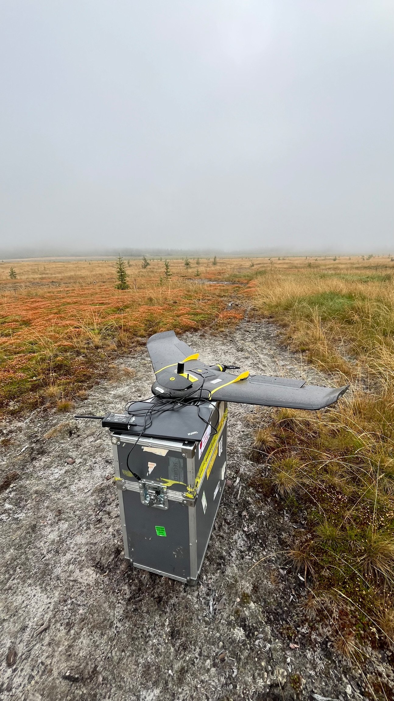
Capturing drone-based imagery to generate high-resolution photogrammetric digital elevation models (DEMs).

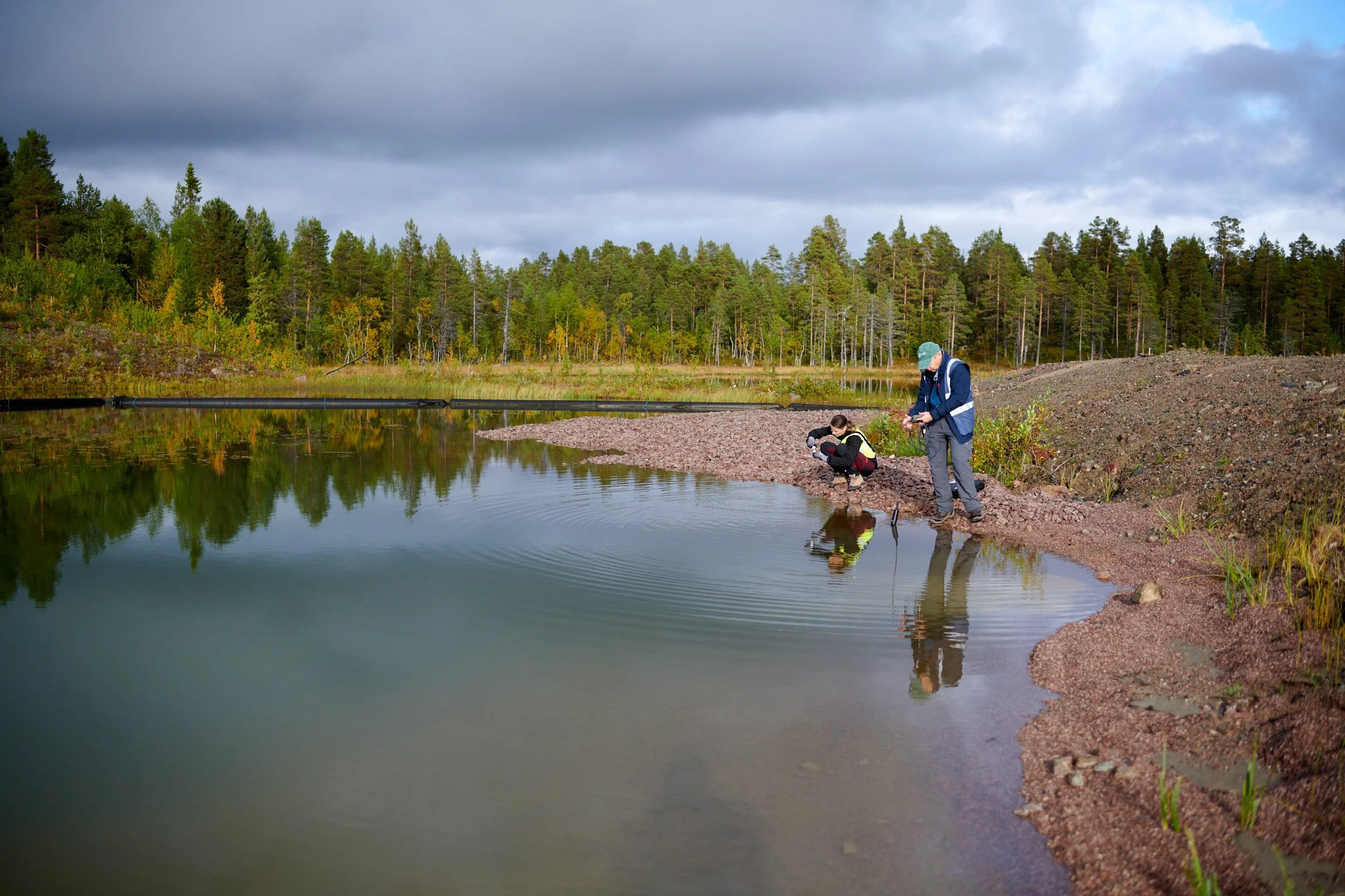
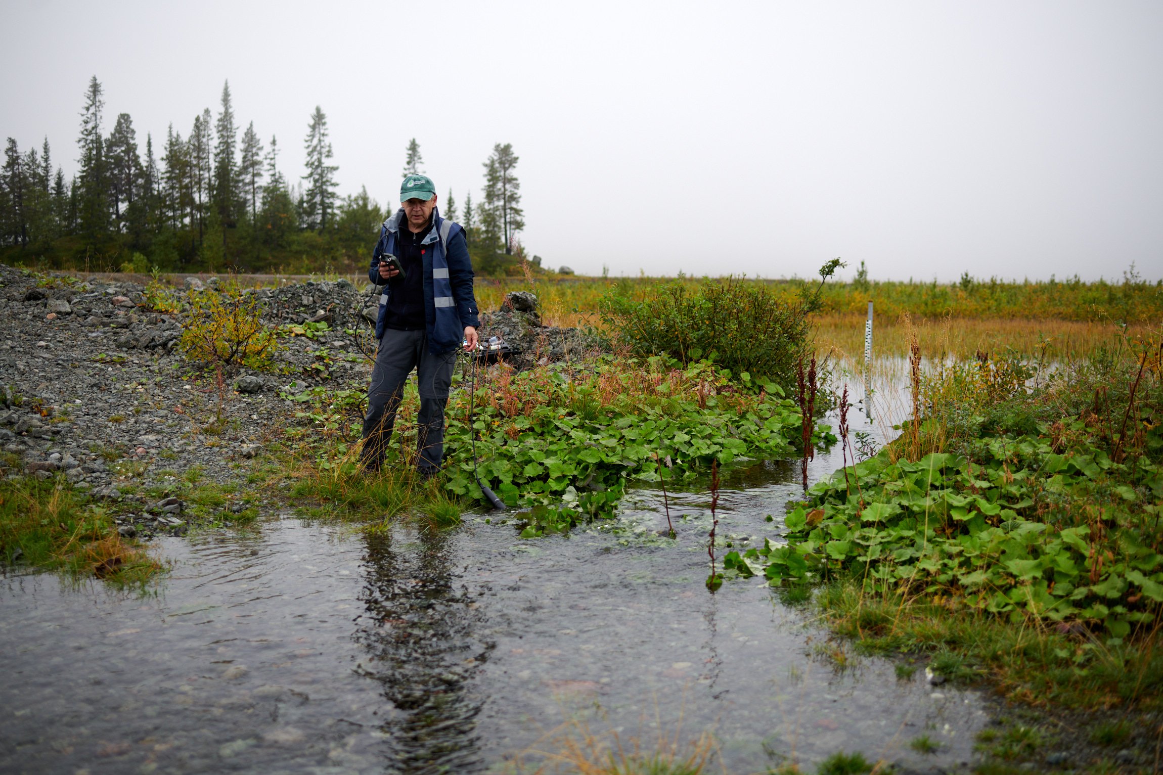
Measuring water quality in lakes and streams, complementing Boliden’s long-term environmental programme.
Instruments in Action
To connect ground conditions with EO data, a suite of tools were deployed:
-
Seisometers were used to record ground vibrations for a period of five weeks. This will build an underground model to help identify rock layers and structures relevant for stability and resource recovery.
-
A fixed-wing drone was used to capture updated orthophotos and photogrammetric DEMs, enabling water flow studies and linking field data with satellite observations.
-
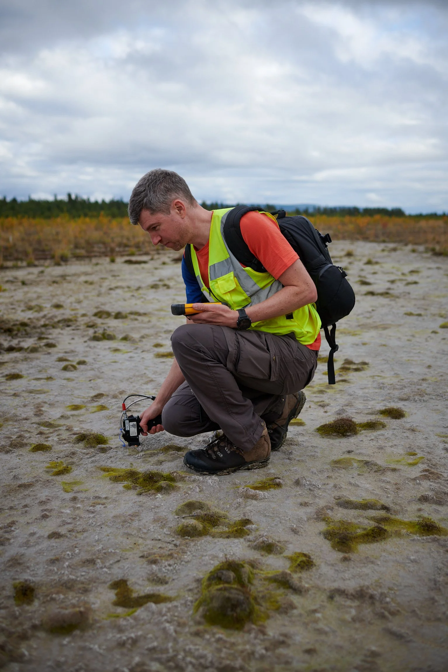
A handheld spectroradiometer was used to measure light reflection from soils, sediments, and vegetation for fine-tuning satellite analyses for Laisvall's specific materials.
-
A portable water probe was used to measure acidity, redox conditions, conductivity, and temperature on-site to complement Boliden’s existing monitoring program.
But perhaps the most valuable tool was the human eye! Observations of tailings, vegetation, water flows, and engineered vs. natural features (combined with Boliden’s local expertise) helped the team interpret EO data in meaningful ways.
Days in the Field
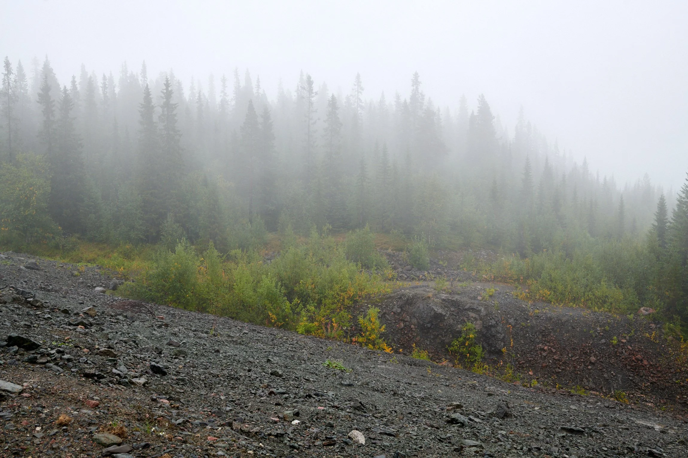
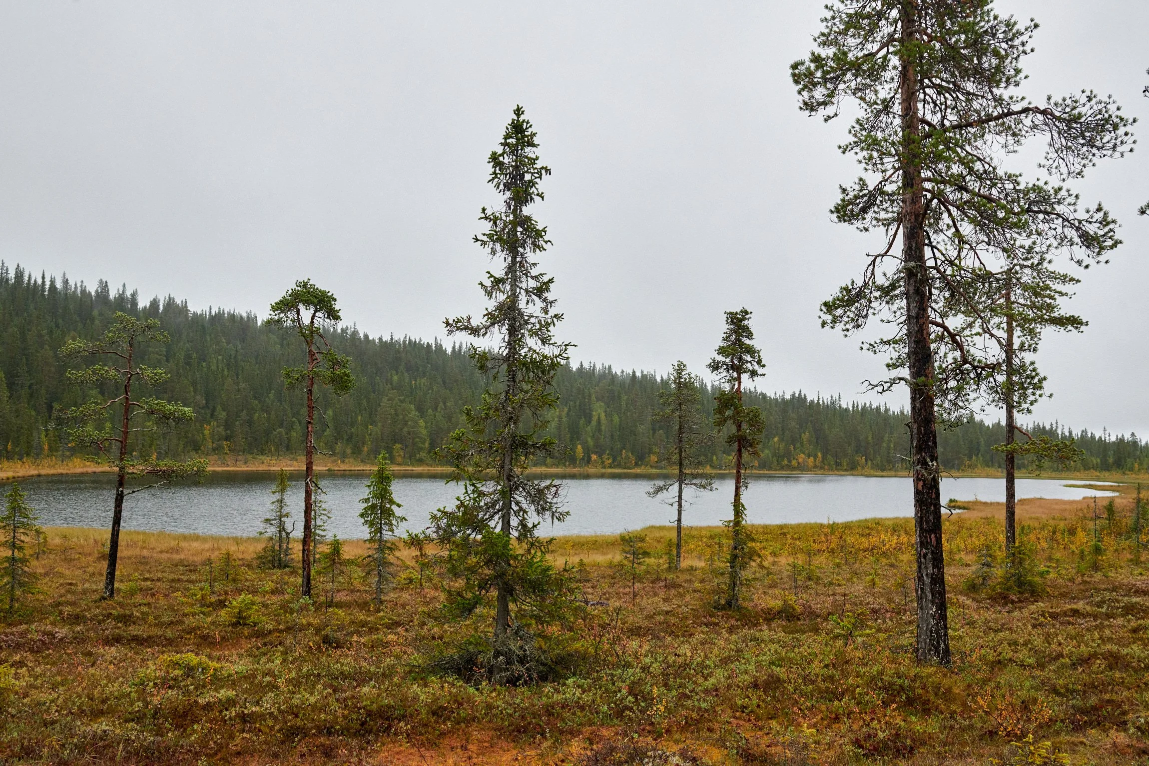
Fieldwork in September at a Northern Scandinavian site brought both variety and challenges. Each day unfolded differently in terms of weather, people and activities. Between retrieving instruments, conducting UAV surveys, sampling water and documenting waste spill paths, the team had to stay flexible and adjust plans on the go.
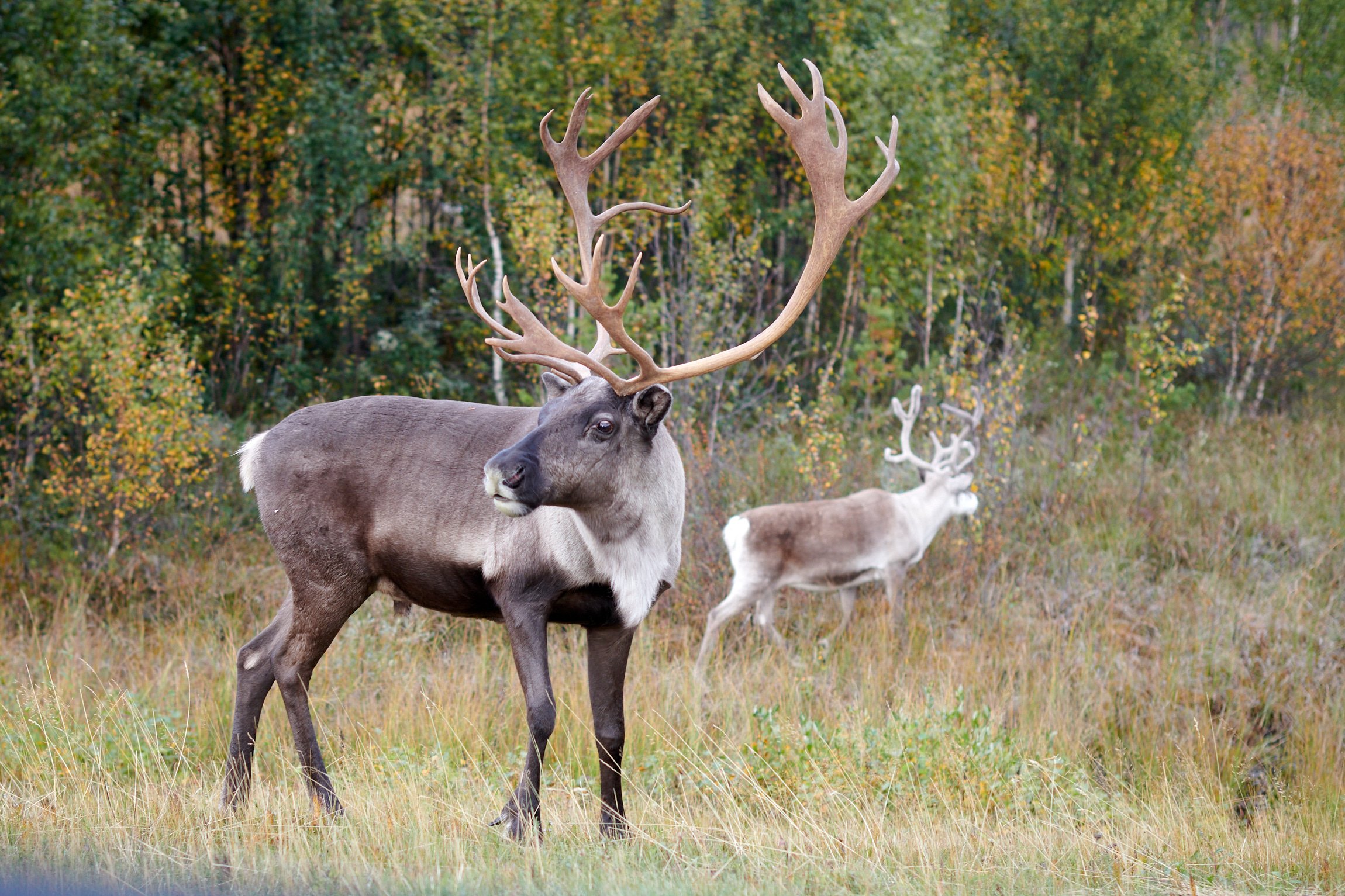
Beyond technical tasks, the fieldwork fostered strong cooperation among partners. Shared responsibilities created a spirit of camaraderie and encounters with moose, reindeer, and even local bird species also provided memorable moments against the backdrop of scientific discovery.

Findings
The findings from this fieldwork are helping shape new approaches to remote sensing products for closed mining sites, opening up possibilities in several key areas:
Rehabilitation Monitoring
Tracking the success of revegetation efforts through vegetation index trend analysis, hyperspectral classification, and LiDAR-based canopy height mapping.
Tailings Spill Forensics
Using historical imagery and vegetation index breakpoint analysis to trace spill paths and assess vegetation recovery over time.
Erosion Monitoring
Leveraging elevation data and vegetation index time series to identify and quantify erosion processes.

Water Turbidity Monitoring
Applying multispectral satellite data and high-resolution orthophotos to better understand runoff sources and water dynamics.
Impact and Bigger Picture
The fieldwork at Laisvall was important because it gave MOSMIN the opportunity to trial technology and evaluate the accuracy, fitness for purpose and industrial relevance of our EO-based products. Despite its small size, dense vegetation cover, and long winters, Laisvall provides a rich testing ground thanks to extensive historical datasets and ongoing monitoring. By trialling and validating technologies here, MOSMIN was able to refine its product offering for closed and abandoned mine sites worldwide — where balancing safety, remediation, and resource recovery is a pressing challenge. This work is also important for reinforcing the EU’s raw materials strategy as it validates EO technologies that can be applied across the value chain to increase resilience and reduce environmental impact.
Stay tuned for more updates!