
Services
MOSMIN delivers four integrated services that combine Earth observation, geophysics, environmental monitoring and advanced data analytics to unlock new insights from mining and mine waste sites. From tracking ground deformation and pollution pathways to monitoring ecosystem recovery and identifying resource potential, MOSMIN’s services can help stakeholders manage risks, improve sustainability and support informed decision-making throughout the mining lifecycle.
GeoShift
Reading the surface and the subsurface together
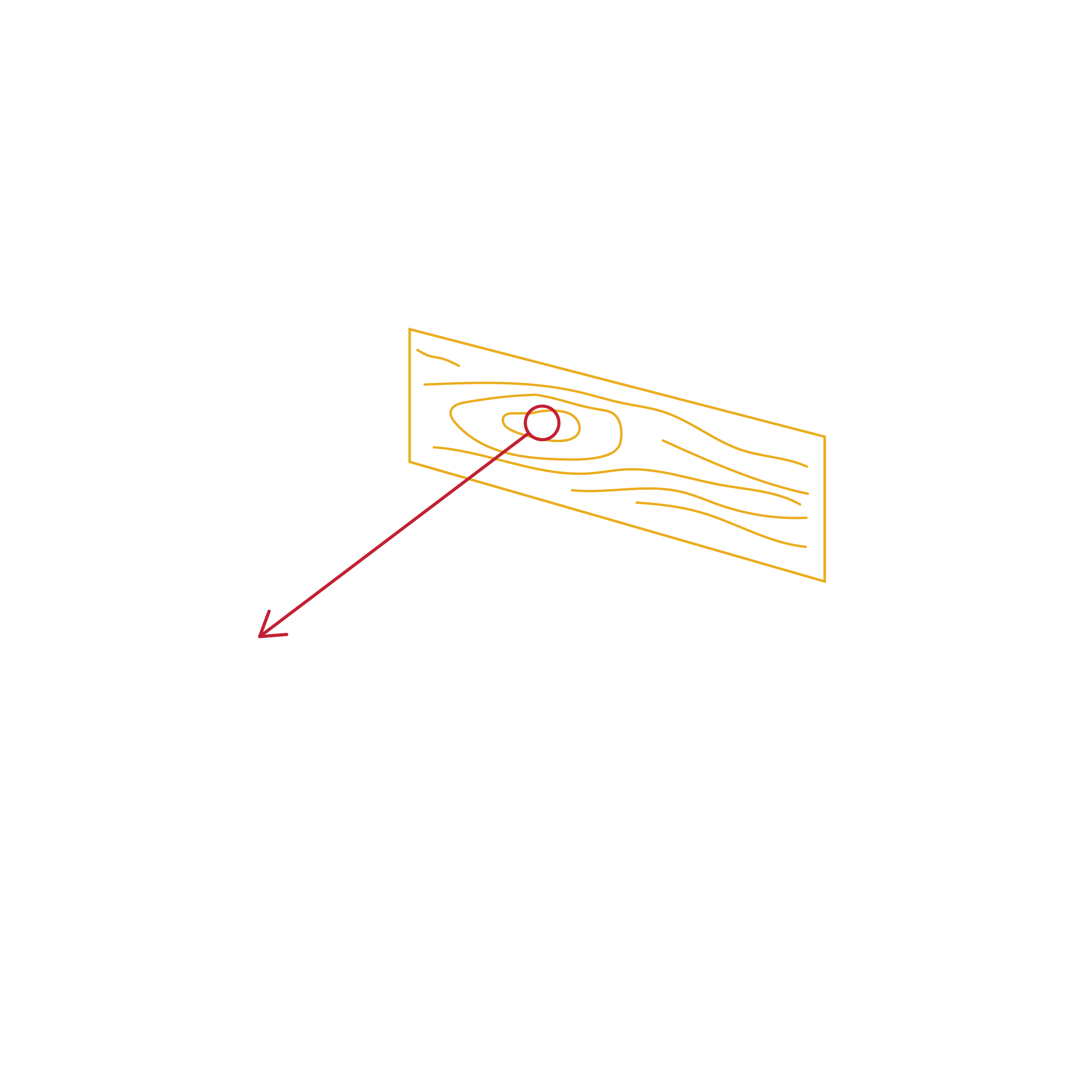
Tailings storage facilities can deform slowly over years, and a failure can be catastrophic. Yet today’s monitoring systems often deliver fragmented data streams in which critical signals, especially from below the surface, go unnoticed. GeoShift combines satellite Earth observation data like InSAR deformation and surface hydrology, built on the openly available Copernicus Sentinel backbone, with subsurface geophysics such as fibre-optic ambient noise seismics and electrical resistivity tomography. Linking the two views turns “something is moving” into “this is why it is moving”: operators can distinguish seasonal swelling from progressive internal failure, connect deformation to rising pore pressure after rainfall, and catch precursors weeks earlier, reducing unnecessary field inspections while strengthening confidence for regulators, insurers and investors.
ContamTrack
Following mine pollution from source to sink
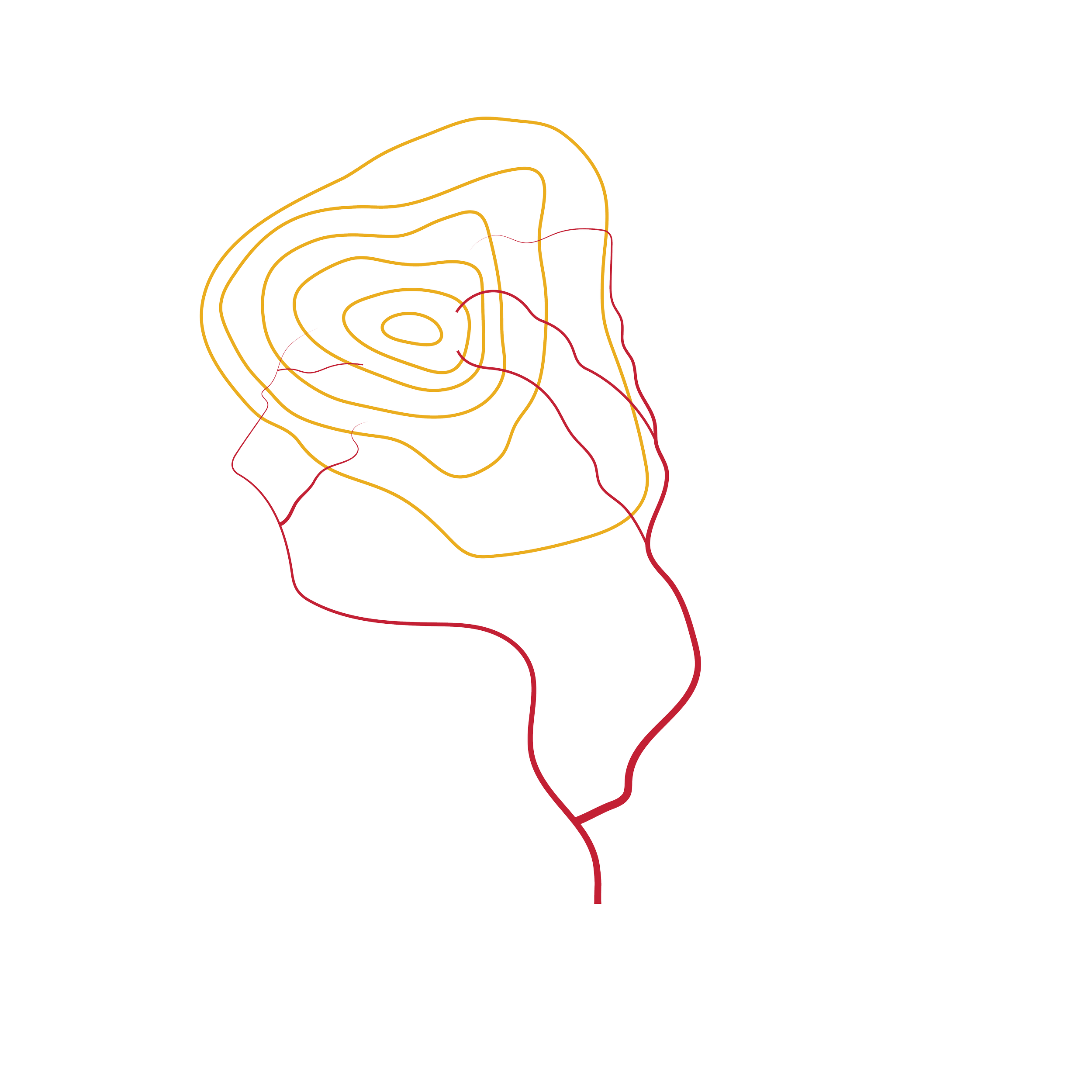
Acid mine drainage (AMD) is one of mining’s oldest and most persistent problems: sulphide-bearing waste exposed to air and water generates acidic, metal-rich run-off that can pollute rivers and groundwater for decades, and operators usually find out after the fact, from occasional samples at a few fixed stations. ContamTrack is built around a source-to-sink philosophy: rather than treating the symptom where it appears, it reveals where contamination originates and how it travels. Combining hyperspectral satellite and drone imagery with digital elevation models and on-the-ground hydrogeochemical measurements, the service produces time-resolved maps of reactive source zones, neutralising zones, transport pathways and downstream impact areas. Operators can treat the right square metres instead of the whole site, optimise lime consumption and cut unnecessary lab testing, while giving regulators and communities evidence of what is really happening in the water.
EnviroWatch
Following ecosystems through the full life of a mine site
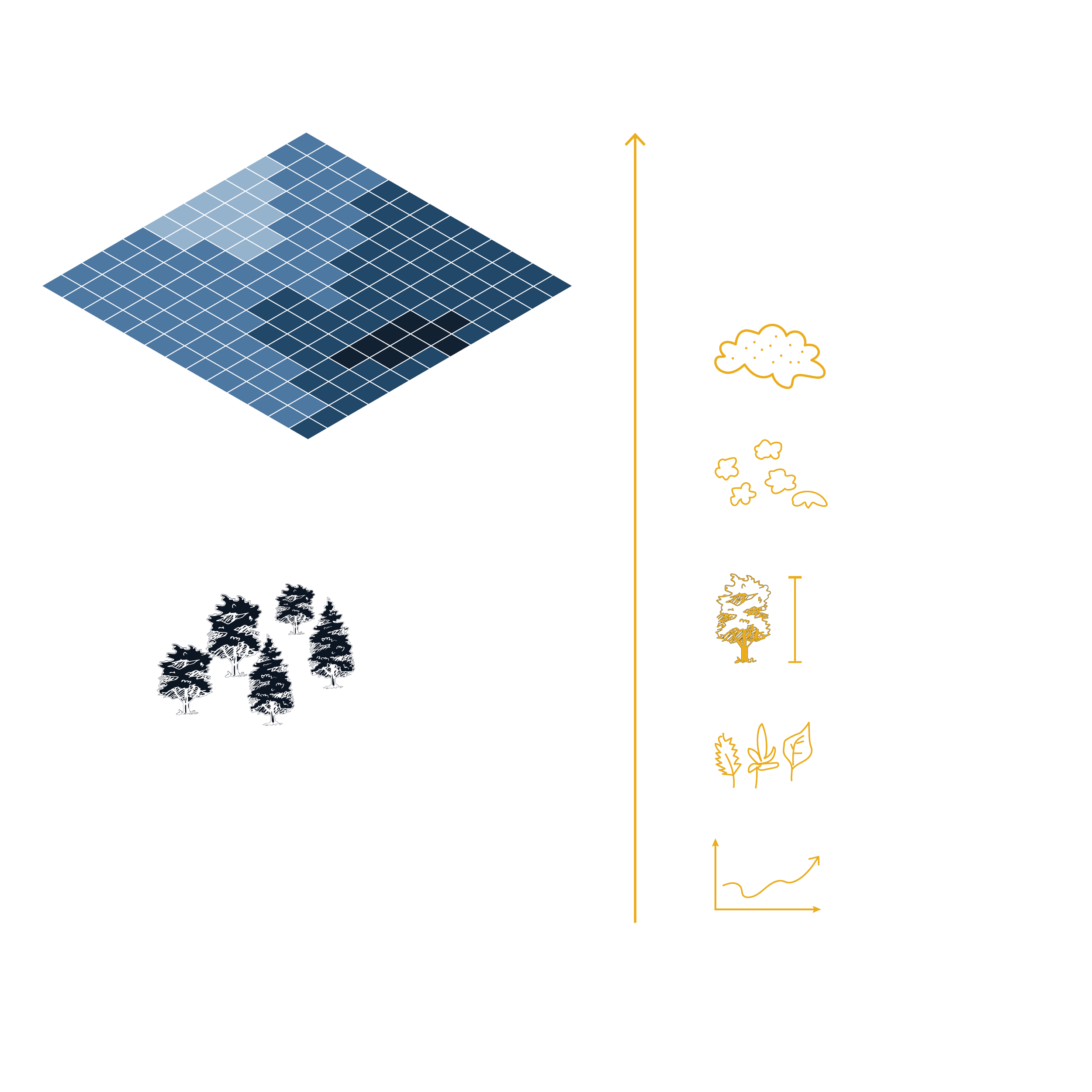
Mining reshapes the landscape, and the ecosystems around a site change in ways that are slow, patchy and easy to miss, while conventional monitoring relies on occasional field visits and static vegetation maps that are inevitably limited in coverage and timing. EnviroWatch adds a continuous satellite- and drone-based layer that tracks vegetation health, diversity and structure across the entire footprint, and combines it with aerosol observations to reveal how mining activity actually affects nearby plants and soils. The resulting time-series maps distinguish a bad season from real degradation, detect early signs of failing rehabilitation and quantify how well a reclaimed area is truly recovering. This way, field campaigns can be reduced and focused where they matter most, and ESG reports gain the hard, continuous evidence that regulators, investors and the public increasingly expect.
Valor3D
Screening mine waste for hidden potential
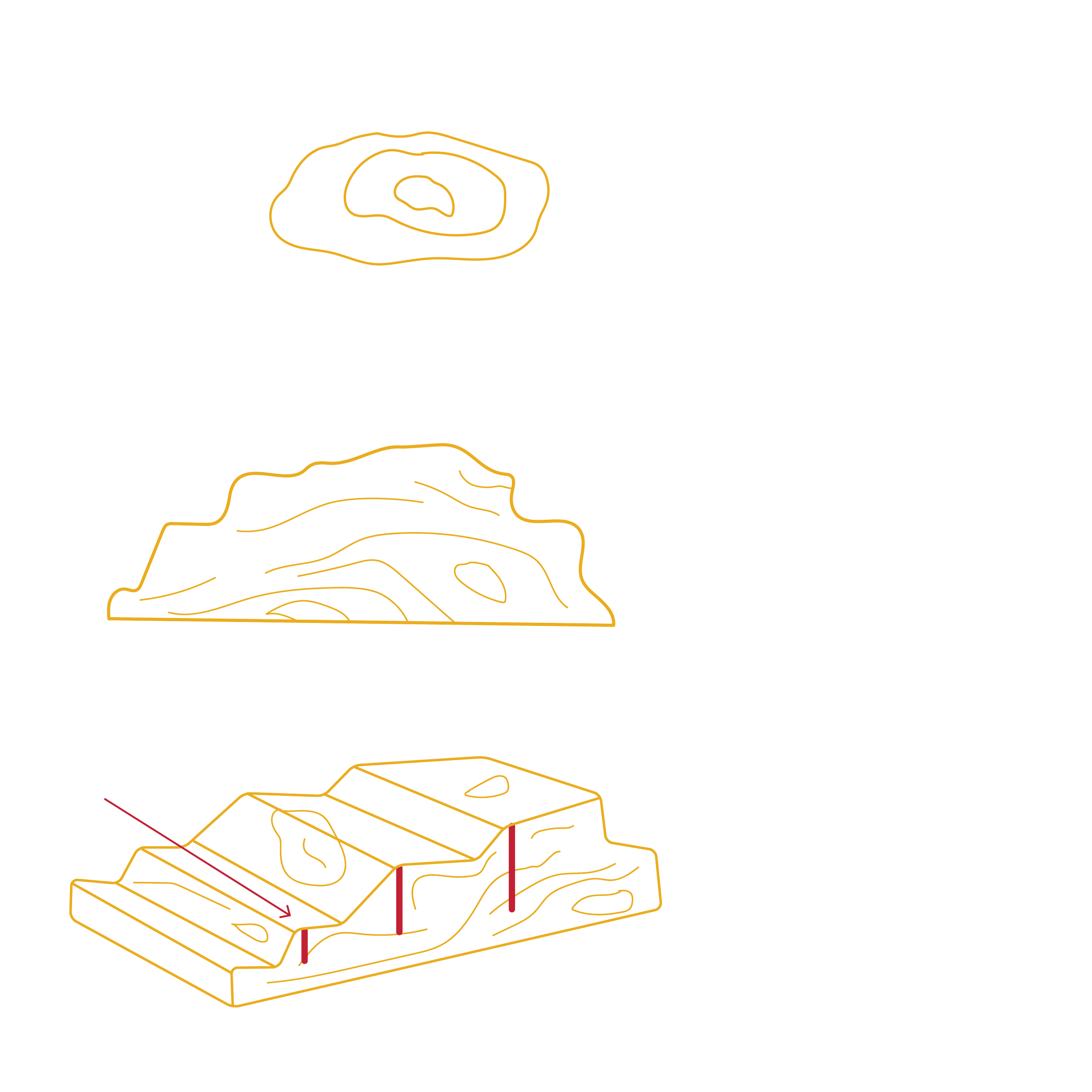
As near-surface deposits deplete and ore grades decline, mine waste is increasingly recognised as a potential secondary source of critical raw materials, base metals and construction-grade minerals, and as a feedstock for CO₂ sequestration through enhanced weathering. The challenge is knowing where that potential sits: waste deposits are deeply heterogeneous, and conventional characterisation from sparse drilling samples only a tiny fraction of huge, variable volumes. Valor3D builds an integrated 3D picture of waste geometry and the mineral domains within it through two complementary approaches: fusing hyperspectral mineralogical surface maps with geophysical data from, for example, passive seismics or airborne electromagnetics, or building a temporal stack of multi- and hyperspectral index maps combined with spatial data. This full-footprint mineralogical screening flags zones of potential interest, reducing the need for extensive exploratory drilling, identifying opportunities for reprocessing and reuse, and supporting the reclassification of waste facilities from pure liability to conditional asset, a cornerstone of the circular economy and of Europe’s strategic autonomy for raw materials.